New Zealand South Island – Picton to Wanaka
I left Wellington with a feeling of unbelievable excitement building inside me. The North Island is a wonderful place, but it really struggles to match the South. The scale of the mountains, the remoteness and the possibilities for adventure are just endless. I disembarked from the ferry in Picton with Christian and Marlena but after a good lunch, it was time to head our separate ways. It had been great to have company – I had actually learnt a lot from travelling with them – but it was great to strike out on my own again. It was the first time I had felt this real joy of being on my own and the contentedness this brought has been another factor in my enjoyment of the South Island. I had planned a route that would take me to a lot of places that I had not previously visited. I would also take in some of the iconic sights and journeys of New Zealand.
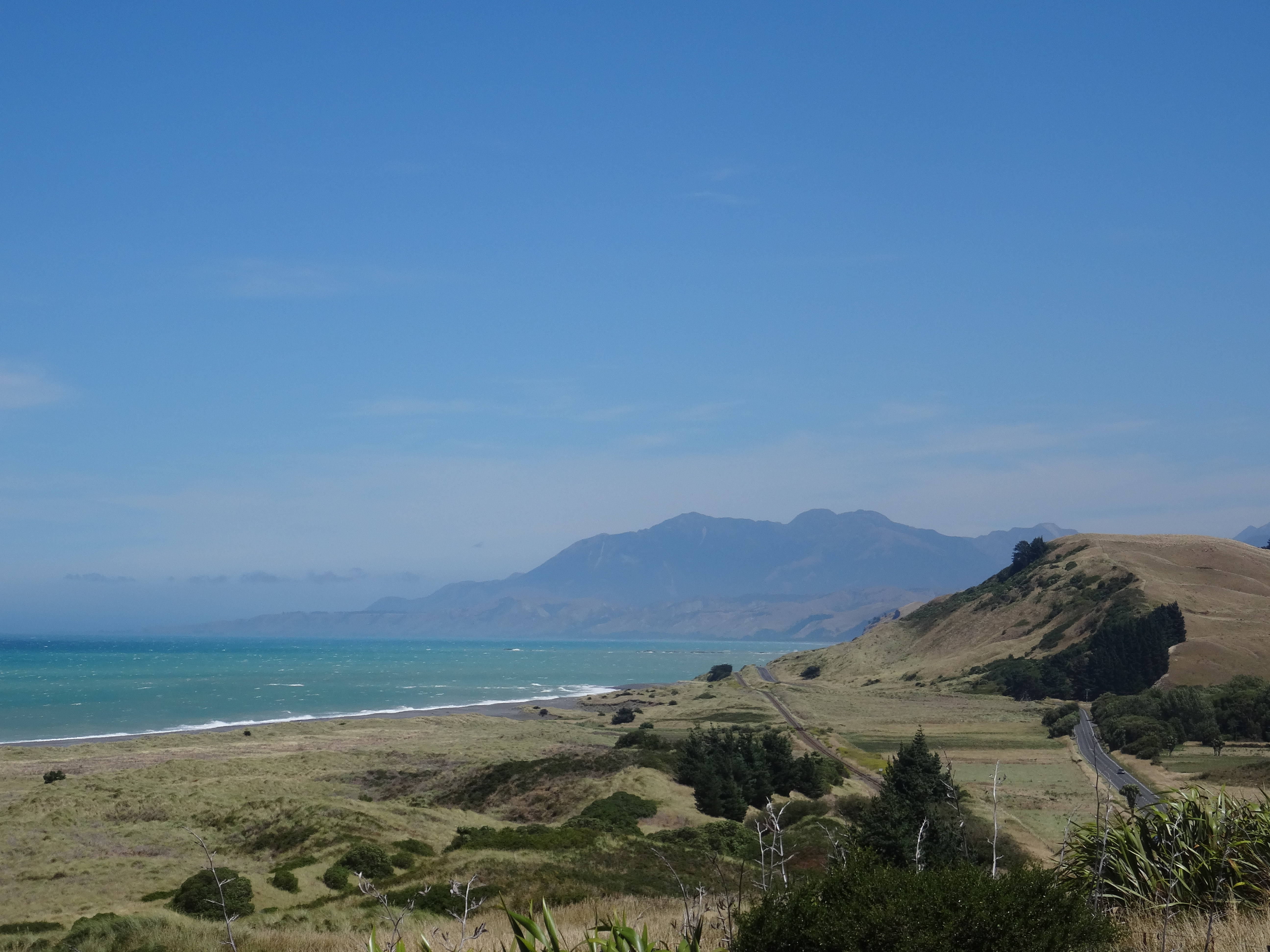
I initially headed south, towards Blenheim covering only 20 easy kilometres having spent a good chunk of the day on the ferry. From here, the next day, it was through Blenheim and on towards Kaikoura. I was feeling unbelievably strong and alive; it seemed the challenges of the North had set me up well to tackle these initial stages at least. I was heading for the north-east coast and with a favourable wind and only one hill of any significance, easily covered 110 km on the first full day of cycling. I stopped for the night about 30 km north of Kaikoura at a small campground trapped beneath the already towering foothills of the Seaward Kaikoura Range and the Pacific Ocean. My evening was spent wandering on the beach, enjoying the wonderful views and trying not to step on any fur seals. There are thousands of these creatures along this coastline and having almost fallen over one, I was careful to check behind the rocks as I took an enormous number of photos! The next day I continued south, quickly passing through Kaikoura, covering 70 km along the road that clings perilously to the coast. In any other country this road would be an attraction in itself. In New Zealand it is just another road! I passed hundreds more fur seals and got to watch some pups learning to swim in the rockpools. It was pretty magical! I eventually had to turn inland towards Cheviot and this meant hills. Meandering, steep uphills were followed swiftly by thrilling descents. Although it was hard work, it was nice to mix up the pace and get the adrenaline pulsing. I reached Cheviot at about 4 pm after 100 km and had a brief and enjoyable conversation with a touring couple from Germany and Switzerland that had met on the road in South America. It was a pretty cool story. A bottle of coke later I set off for Gretta Valley. I thought this was a flat and easy 20 km further down the road. 34 uphill kilometres later I dragged myself into the wonderful campground and was immediately offered a beer by the host. My kind of hospitality. I sat enjoying the evening sun on my back, sipping on a cold beer. Life could have been an awful lot worse. Previously, having that many kilometres to go so late in the day would have stressed me out but this was a good indication of the growing confidence and comfort I was feeling with being on the road.


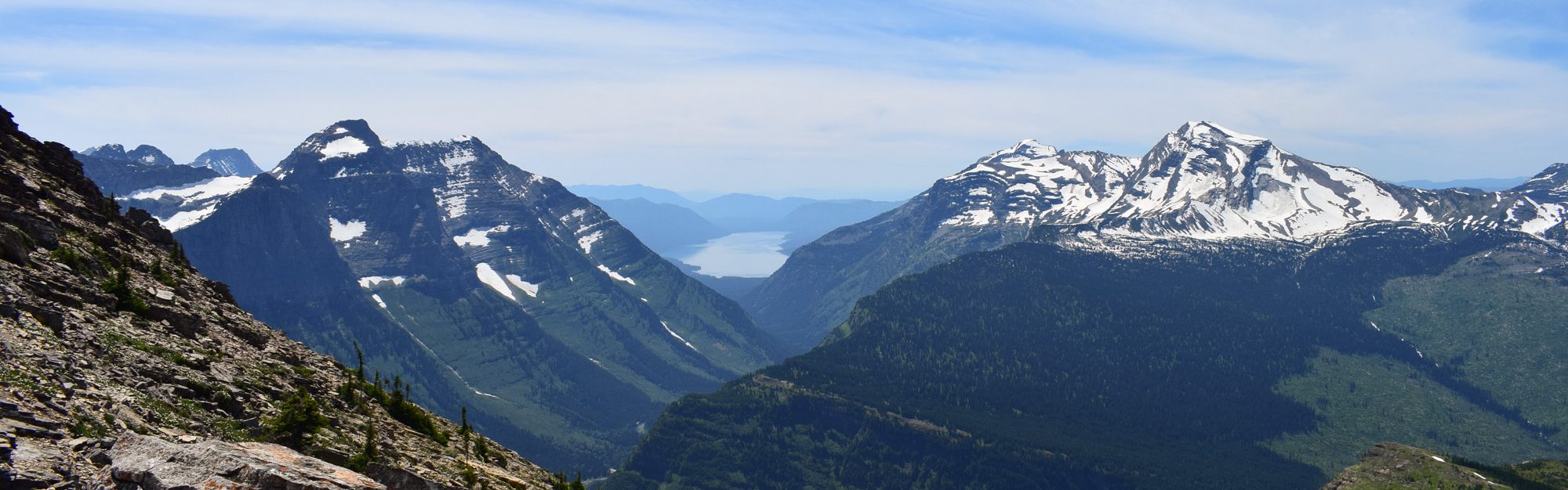
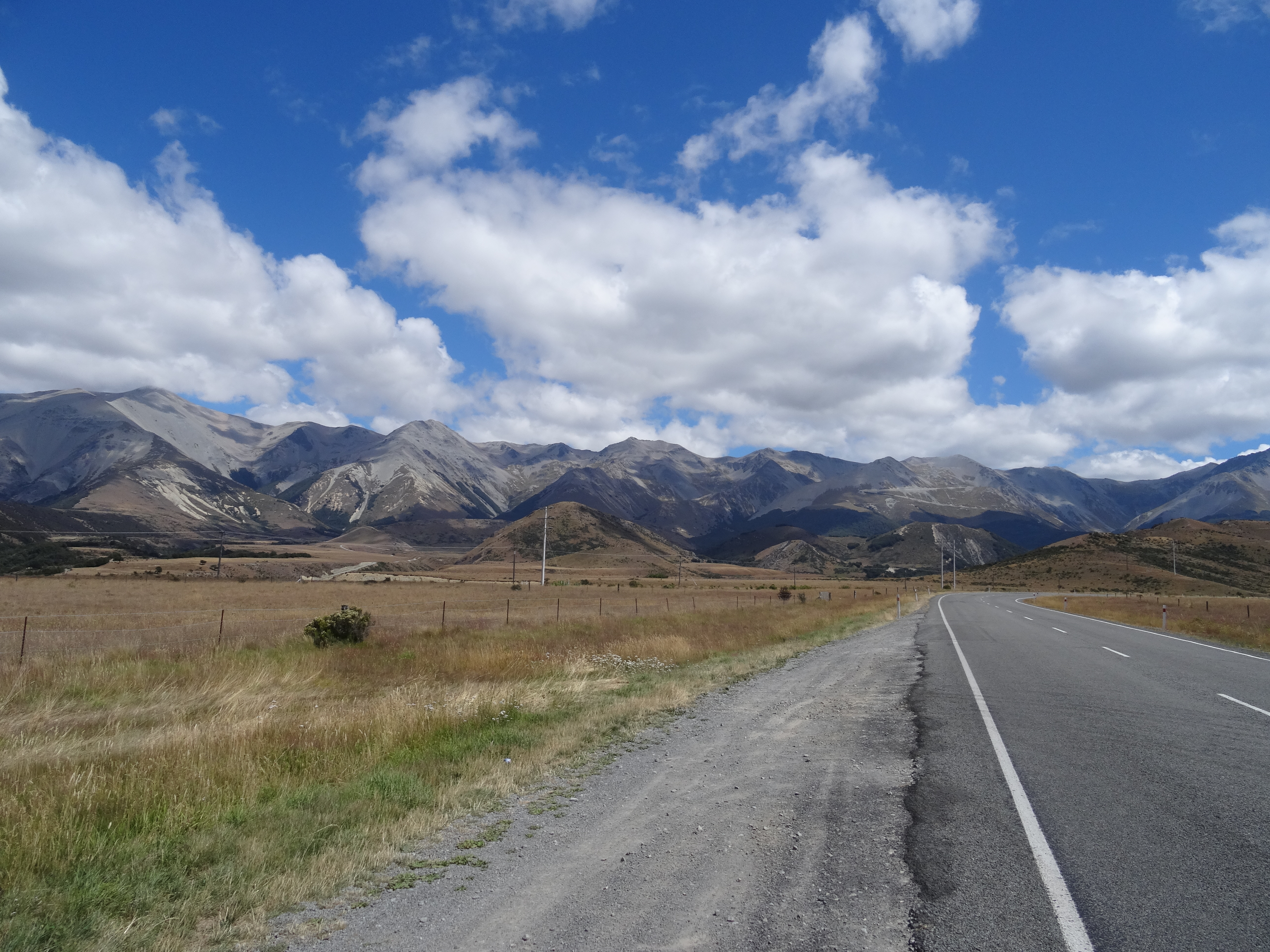
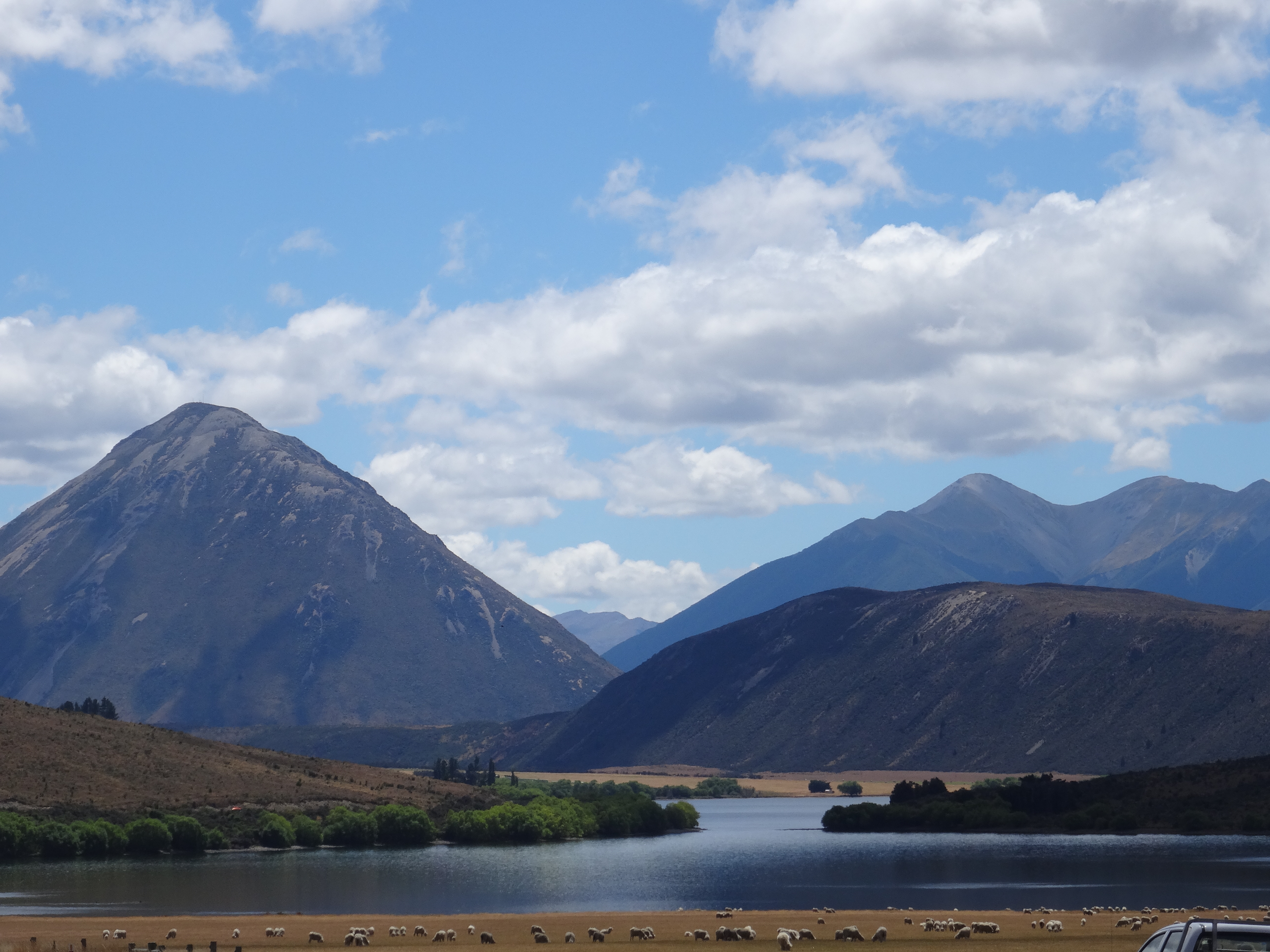
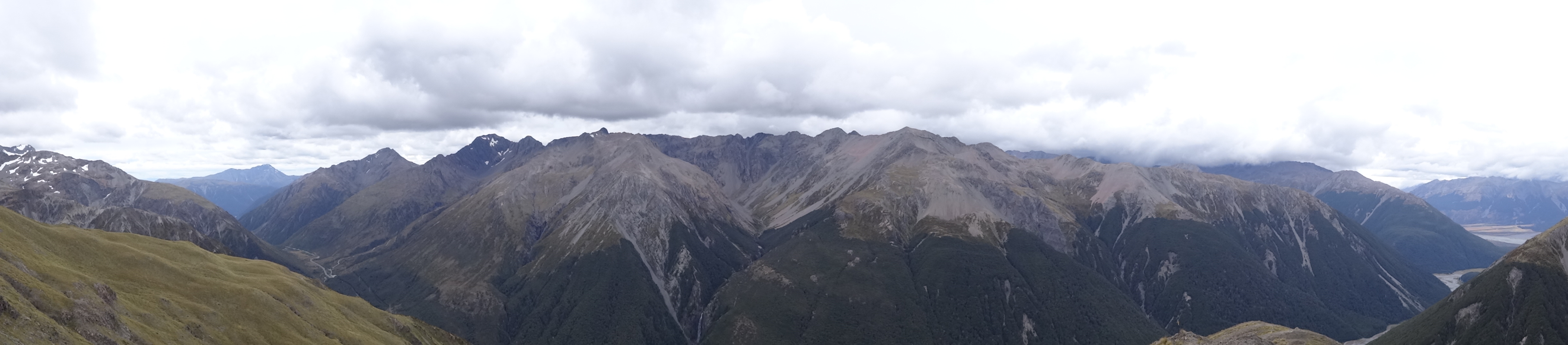
The following day was another long one. These three long days were designed to get me to the foot of the Arthur’s Pass and allow me to take my time over the highest alpine pass. I didn’t want to have a huge day of climbing at the same time as a lot of ground to cover. The day was completely uneventful as I easily covered 120 km to Springfield, gradually gaining elevation as I went. I followed the inland scenic route but, to be honest, there really wasn’t much to see! This was soon to change as I began the next day with a serious challenge; the climb up Porter’s Pass. This is the highest point on the Arthur’s Pass road at 967 m and after an initial gradual climb the gradient soon ramps up. I continued non-stop until the final 2 km which have an average gradient approaching 20%. I dropped to my lowest gear and stood on the pedals but eventually the lactic acid build up meant that I physically couldn’t turn them any more. It was just crazy. A pause to catch my breath and regain feeling in my legs then it was back on the attack. It seems mad that a road can be built that steep! Hitting the summit was pure elation. The clouds were clearing and the high plains and mountains stretched before me. As always, the pain was worth it. I flew downhill for a short while and spent the next 70 km enjoying the magic of the Southern Alps. There were lakes, rivers (that in winter would be churning torrents capable of carrying huge boulders) and snow capped mountains. It was just ridiculously good. I reached the Arthur’s Pass Village late in the afternoon, looking forward to a hard-earned rest day. The YHA hostel there is just brilliant and it was also great to go for a beer with an Australian guy who was tackling the pass in the opposite direction.
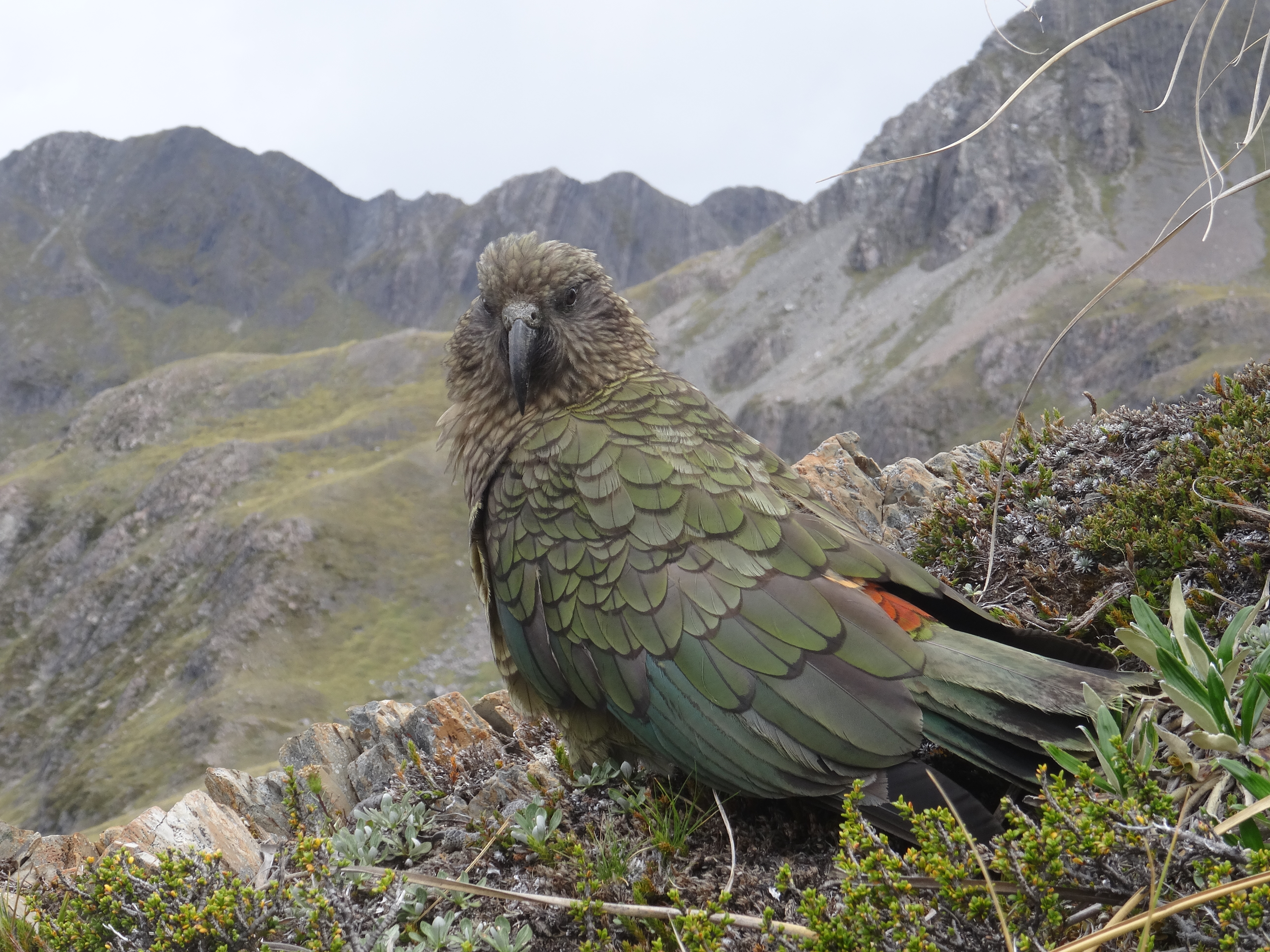
I took a day out in Arthur’s Pass to enjoy the scenery and stretch my legs on an easy hike. The weather seemed keen to spoil this with many of the mountains shrouded in cloud but thankfully this cleared somewhat in the early afternoon. I headed up the Avalanche Peak track which turned out to be pretty much a scramble up a mountain. I was lucky to enjoy some wonderful views but turned back before the top as the weather began to close in. The trail can’t really be described as an easy hike either; the next day my legs were stiffer than at any point since the early days in Western Australia! Despite the soreness it was up and out on the bike early the next morning. The first section is a short steep climb to the top of the Arthur’s Pass itself, at 920 m, followed by a descent through the Otira Gorge. This gave new meaning to the word steep, making Porter’s Pass look easy. I was just glad to be going down it, although this brought a few new challenges. I normally love descending flat out on the limits of control, but this was something else. The sharp turns coupled with the extreme gradient meant that I was clinging onto my brakes. It was exhilarating but terrifying at the same time. When I eventually stopped, the rims of my wheels were too hot to touch. A pretty crazy situation. Interestingly, in the pub in the Otira Gorge village, there are some photos of the first guys to cross the pass on bikes in the late 19th Century. The roads were dirt and they were on penny farthings! It is just outrageous how brave and tough these early pioneers were. From Otira Gorge it was basically all downhill to the West Coast and Hokitika. I arrived in the town in mid-afternoon and briefly enjoyed the driftwood sculpture festival on the beach and grabbed some supplies. I camped that night about 10 km south of Hokitika at the DOC campground by Lake Mahinapua. It was a beautiful spot to finish after another long day in the saddle. There were even a few other cyclists, including two ladies riding recumbent trikes around the country. Those must have been hell on the uphills!


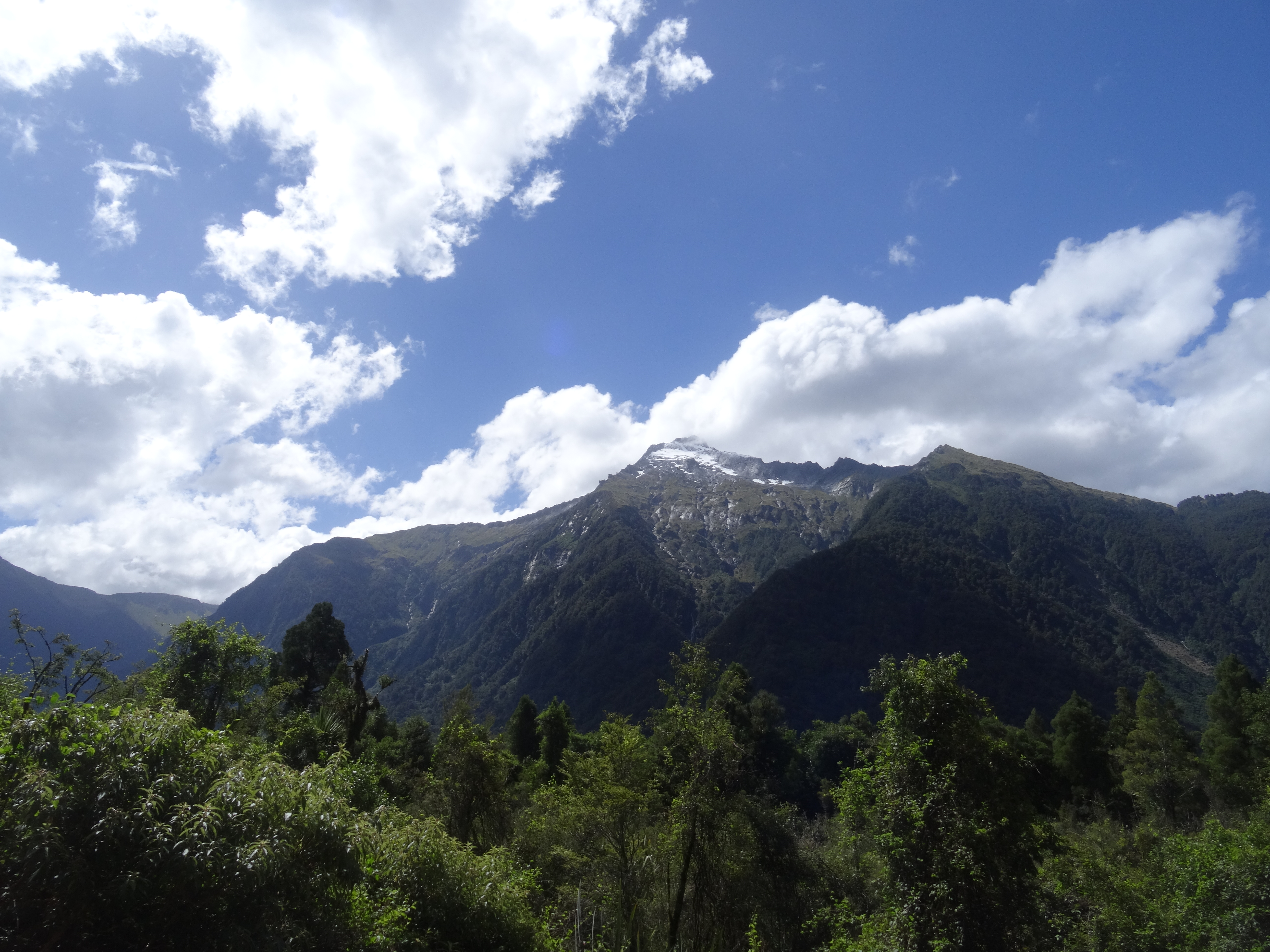
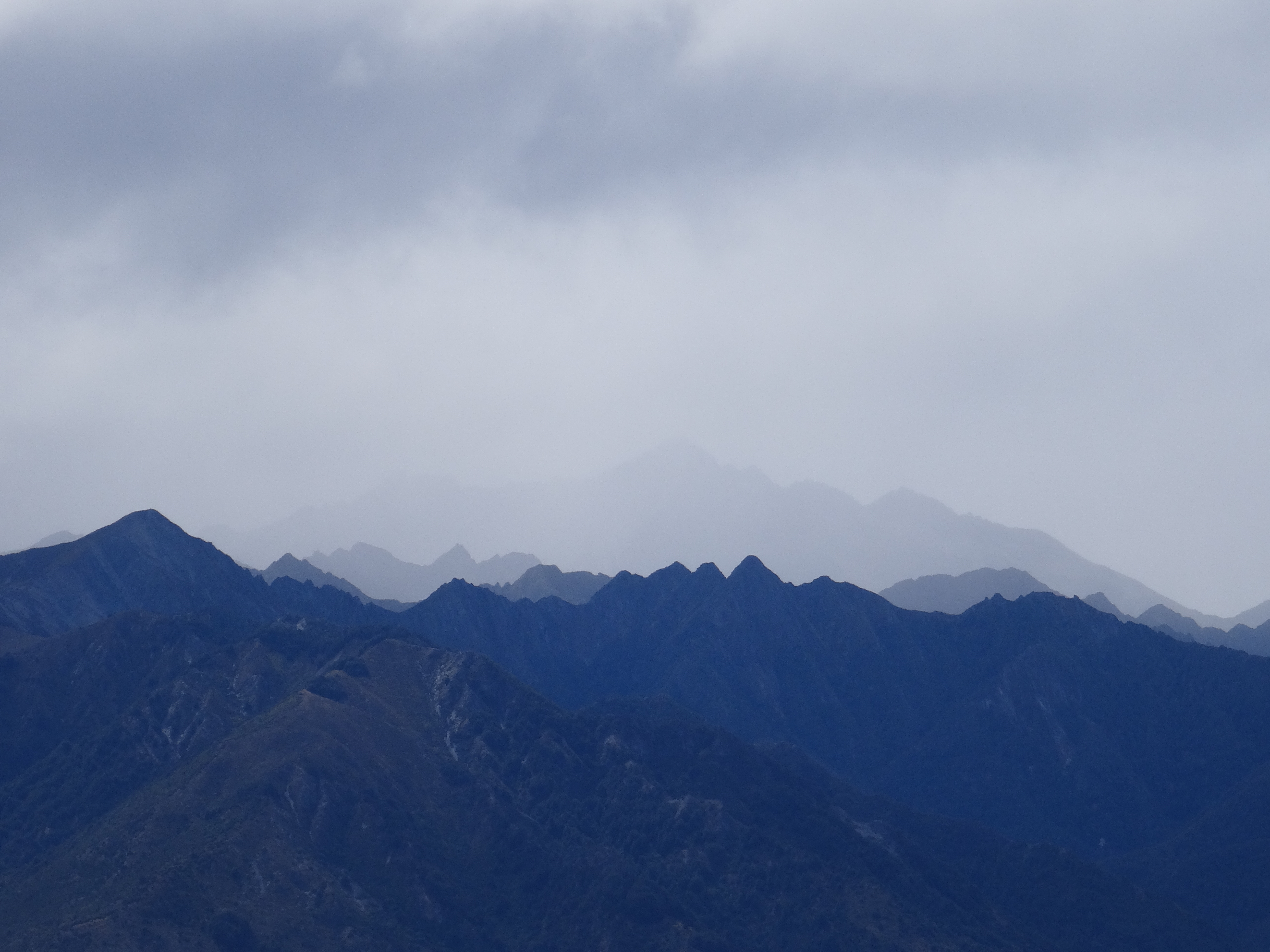
The West Coast of New Zealand is one of the most remarkable places in the world. It is incredibly remote, cut off from the rest of the island by the towering Southern Alps which plummet from their highest peaks to the Tasman Sea within 30 km. The views are truly incredible (or so I’m told), but the weather here is seriously wild. It is one of the wettest places on Earth; about 10 times as much rainfall than London. This does mean that there are many beautiful lakes and rivers to enjoy though, as well as temperate rainforest cloaking the sides of all the mountains below the treeline.
I woke up at Lake Mahinapua to the sound of hammering rain. The beautiful views of distant mountains from the night before were long gone. It seemed as though I was going to get the full West Coast Experience! Packing up that morning was pretty grim. I found some shelter next to the toilet block to heat some water for coffee and eat breakfast out of the rain. Other than that it was just a matter of packing up as efficiently as possible and hitting the road. The key thing was to keep my clothes and sleeping bag dry, while accepting that my tent was going to have to go away wet. The rain persisted as I headed off south, passing through Ross, but by early afternoon it started to abate. I stopped for lunch in the infamous Bushman’s Centre in the tiny village of Pukekura. This place just about sums up the people of the West Coast. They don’t suffer fools gladly that is for sure and there are signs threatening to shoot shoplifters! They don’t exactly cater for vegetarians either with a range of Roadkill Toasties though they are no longer allowed to serve their possum pies after it emerged the owner was just shooting wild possums rather than getting meat from a safe source. You get the picture! A venison toastie (which was excellent) later, and I was back on the road under much clearer skies. The ride was fairly straightforward, other than a quick climb up Mount Hercules. I enjoyed a good chat with four lads from the UK (now living in Auckland) riding the West Coast for charity. The rain began again as I finished off the 120 km to Franz Josef and made my mind up for me to stay in the YHA there. I must have been quite a sight, having not showered for two days and been soaked alternately and repeated by rain and sweat! A shower soon sorted this and I enjoyed a burger for dinner and met the same guys for a few beers to round off the day.
The forecast for the coming days was pretty bad, but truly awful for the next day. I decided to take a day off! I wasn’t on a tight schedule at this point as I had plenty of time to get to Queenstown, where I would be meeting friends, so it was easily the correct decision. I sat eating nachos and watching the Superbowl while biblical amounts of rain lashed the West Coast. This lasted until about 9 am the following morning but just as I headed out of the door the day brightened up. The cloud never completely lifted, which was a real shame. I have now travelled the West Coast three times and am yet to see the postcard views up into the high peaks of the Southern Alps. The first 30 km between Franz Josef and Fox Glacier are very up and down but after this, the day was pretty chilled. A southerly breeze was beginning to pick up bringing much cooler temperatures and a bit of a headwind but in all it was a good day for riding. I settled for the night at another DOC campground at Lake Paringa. After a quick swim, I enjoyed an evening of great company with some other travellers. I had had a fair bit of trouble with sandflies all along the West Coast but their numbers here were pretty alarming. For those that haven’t experienced New Zealand sandflies, it’s hard to describe just how bad they can be. They are only small and their bites just leave a small bump. Often you will feel them land or bite and can kill them, but by this stage, it’s too late. The itch they cause is amazing. After a while your body gets used to it, but at first I would wake in the night feeling as though my legs were on fire. The Maoris believe that sandflies were sent to protect the most beautiful parts of New Zealand and I can see why. They are just vicious.


My night at Lake Paringa was alarmingly cold. The wind coming in from the Antarctic was causing snow to fall down to 900 m (usually it doesn’t get below 3000 m) and meant that I had to draw my sleeping bag tightly round my shoulders and head for the first time on my trip. It was just about warm enough to sleep. I again woke to pouring rain and again packed quickly before heading south towards Haast. In hindsight I am quite glad the weather was like this at some point. It wouldn’t have truly been the New Zealand South Island without experiencing it. At the time, these certainly weren’t my thoughts. The headwind was cold and strong and the 50 km to Haast were honestly some of the most miserable I have cycled. I promised myself I would stay in the town in a hostel if the weather persisted. I dragged myself into Haast and whilst eating a lunch of eggs and chips, the weather again cleared. I changed into some dry kit and headed off up the Haast River towards the pass that would complete my West Coast journey. It was a great run with the wind being channelled behind me by the valley and certainly the correct decision to push on for the afternoon. I camped at the Pleasant Flat DOC site with wonderful views up to Mount Hooker in the distance and I even got a small fire going for a while.
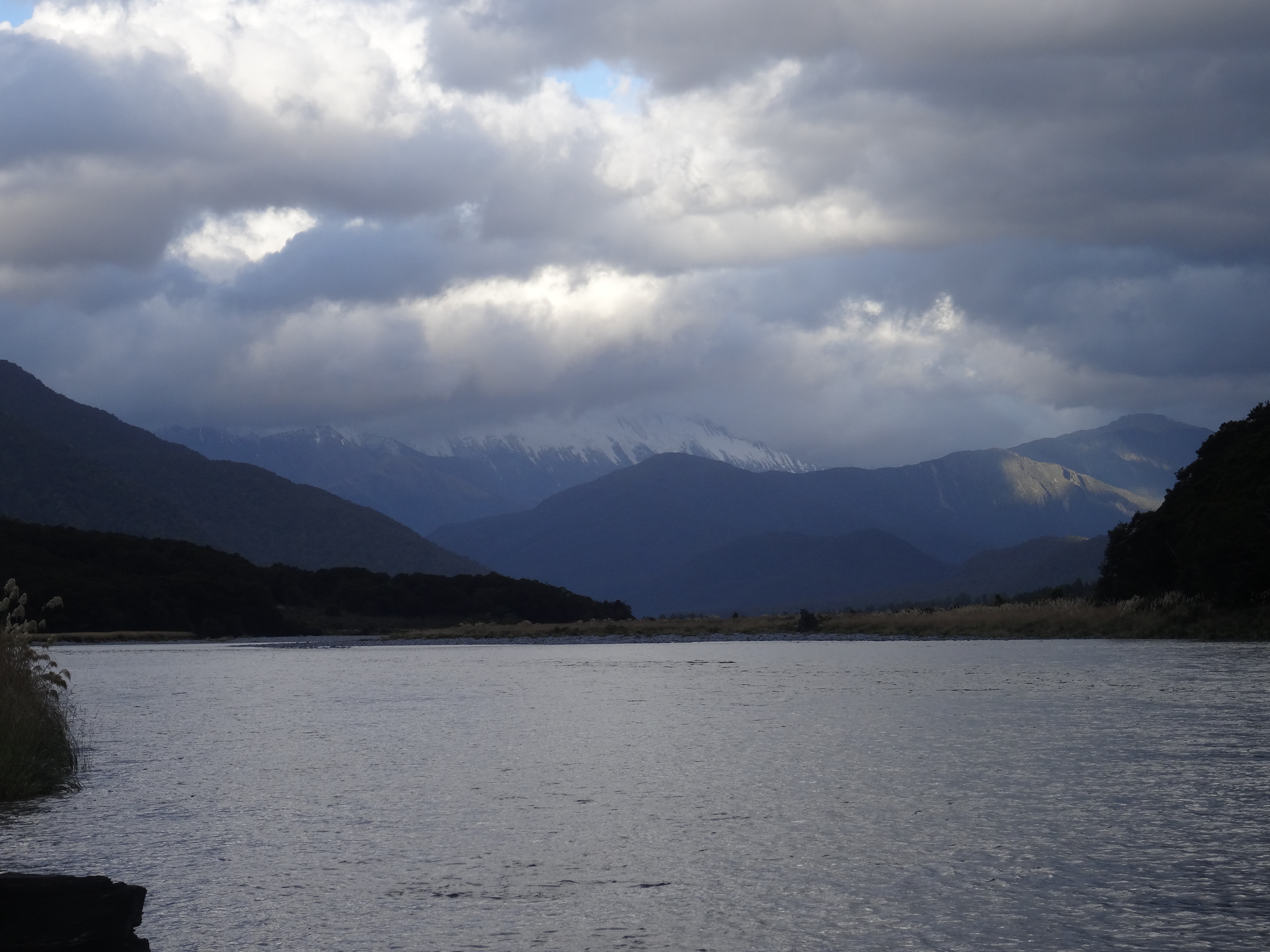
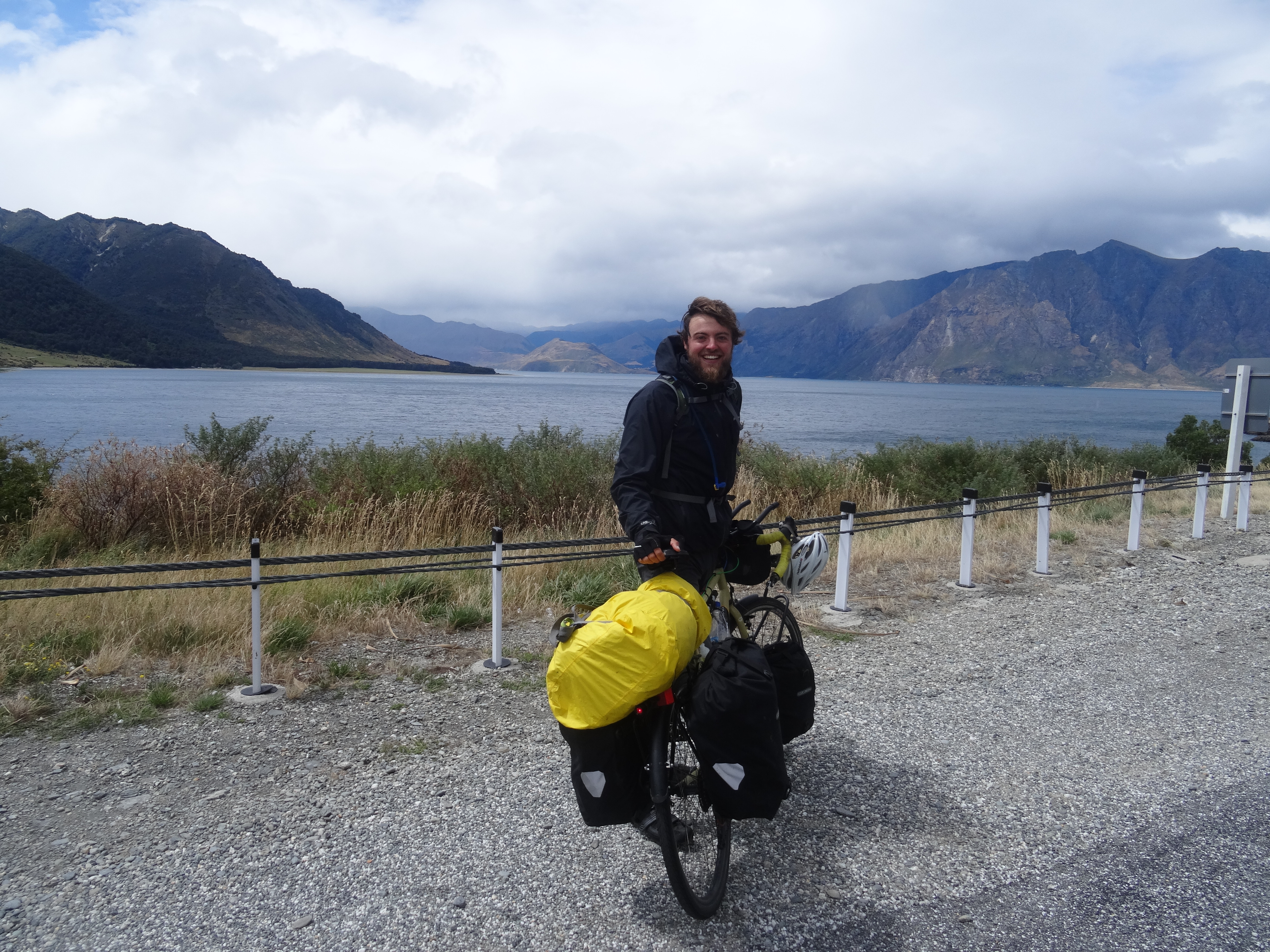
That night took cold to a whole new level. I woke up shivering at several points and it was again raining heavily when it came to get up and pack my stuff away. There were a few small blessings though; an excellent shelter to cook and eat under plus the tailwind was still going strong. One issue was that I just couldn’t get warm. This is very unusual for me. I almost always have the opposite problem. My hands and feet were especially freezing, even after cups of coffee and Milo. There was nothing for it but to crack on. I set off under five layers and this, combined with the short but sweet Haast Pass climb, at least got the feeling back in my fingers, if not my toes. From the summit at 530 m it was an easy 25 km to the small town of Makarora. Having passed through on another trip, I knew I could get a huge hot buffet lunch and copious amounts of coffee here. I indulged in it all! The cycle from Makarora to Wanaka is just stunning. It is just 70 km and I had planned to cover this and the 30 km from Pleasant Flat in two short days so I could enjoy the views and the mountains with a couple of short hikes as well. Given how bad the weather was and with further rain forecast, I decided to just put my head down and push on instead. There was just no point hanging round. The rain did abate at times and the clouds lifted to reveal some of the beauty of the area. The road runs along the shores of Lake Wanaka and then Lake Hawea and the tailwind helped to make it a reasonably enjoyable afternoon. I passed a Swiss cyclist going the other way and he was having a really tough time. There were a few short but very steep sections towards the end of the ride but I arrived in Wanaka in pretty good spirits. I hadn’t had a shower for three days and must have looked and smelt awful but the Tourist Information did a great job for me in finding me a hostel bed for the night when there didn’t seem to be any. I would camp for my remaining nights in Wanaka but at that point I really needed a roof over my head. Then just to cap off a good end to the day I bumped into one of the guys from Auckland. They had done the same run in four days instead of my three but having left a day earlier, made it to Wanaka a couple of hours ahead of me. I again joined them for a few well-earned beers.

So that was it. Into Wanaka and the end to the northern part of my South Island adventure. It had been just wonderful really. Sitting here now, in a warm, dry coffee shop, I wouldn’t change it for the world. I have fallen in love with this country and was enjoying being on the road more than ever before. I had taken on some of the best roads and worst weather that this country has to offer. I wouldn’t exactly say that I had come and beaten the West Coast. The man that walked into that tourist information in Wanaka stinking of sweat, smoke and damp, soaked through and covered in sandfly bites was certainly not the perfect picture of a champion. But I had earned an honourable draw. In some other ways I definitely was a winner. Few people can say that they have crossed the highest alpine pass in New Zealand, traversed the wild West Coast and climbed back through the Southern Alps under their own steam while carrying everything they need to survive and camping in beautiful, lonely spots on several of the nights. Life doesn’t get much better really!

Fag.